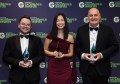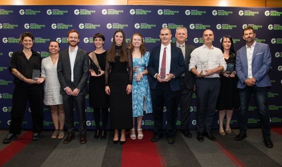
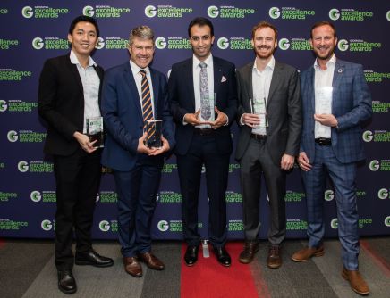
The recipients of this year’s Geospatial Council of Australia Geospatial Excellence Awards were announced at the combined FIG Working Week and Locate25 conferences in Brisbane last night.
Presentations were made at the gala dinner on the evening of the first day of the conference, which itself has attracted more than 1,000 participants from across Australia and around the world.
The recipients in each of the award categories are as follows:
Diversity & Inclusion Award: Geoff Smith of Australian Spatial Analytics, a company that has facilitated geospatial and digital engineering careers for more than 150 young neurodivergent adults.
Undergraduate Student Award: Natarsha McPherson, a PhD student at the University of Adelaide whose honours project used remote satellite warren detection and species distribution modelling to analyse the spatiotemporal trends of the southern hairy-nosed wombat and European rabbit in response to climate change.
Postgraduate Student Award: Foad Brakhasi, who has made exceptional contributions to geospatial technology, particularly in remote sensing soil moisture variation with profile depth using multi-frequency passive microwave observations, emission models and machine learning algorithms.
Future Leader of the Year Award: Ben Gan, a Senior Consultant at Esri Australia, whose expertise has been integral to the success of some of the largest GIS projects in Australia, and whose enthusiasm and dedication have made him one of the most active figures in the Australian geospatial industry.
Professional of the Year Award: Alex Leith of Auspatious, who has profoundly influenced the geospatial profession through his extensive experience in geospatial consultancy, data science and cybersecurity.
Educational Development Award: Craig Roberts, from the University of NSW, who is a nationally recognised leader in the surveying and geospatial engineering disciplines, known for his exceptional contributions that bridge the gap between industry and academia.
Community Impact Award: NGIS with FrontierSI and CSIRO for the Vanuatu Climate Futures Portal, a vital resource delivering essential climate information to empower decision-makers in Vanuatu’s government and local communities.
Environment and Sustainability Award: Wilderness Society for Watch on Nature, a web-based platform designed to detect and expose deforestation across Australia by leveraging Sentinel-2 satellite imagery and Google Earth Engine, along with user-friendly GIS tools.
Innovation Award for Small Business: Esper Satellite Imagery for Over The Rainbow, Australia’s first commercial Earth observation satellite, which provides Earth data for industries such as agriculture, mining, and oil and gas.
Innovation Award for Medium to Business: FrontierSI, University of NSW, MapAI, id, Geelong Council and Tamworth Council, for MapAI, a groundbreaking solution that enables users across any sector to interact with their mapping data through simple chat interfaces.
International Partnership Award: Spatial Vision for the Pacific Islands Geospatial Skills Development Program, an initiative that offers individuals from the Pacific Islands region the opportunity to enhance their geospatial skills in areas such as climate, environment, community and sustainability through an intensive 12-week mentoring program.
Workforce Development and Inclusion Award: Acciona and Australian Spatial Analytics for the Employment Transition Program for geospatial and digital engineering, a partnership that has created increased opportunities for ASA’s young neurodivergent data analysts to contribute to infrastructure projects across Australia.
Technical Excellence Award: Cancer Council Queensland and the Queensland University of Technology for its Australian Cancer Atlas 2.0, which offers unparalleled insights into the spatial patterns of cancer across Australia.
Bruce Thompson Award: Phil Delaney and Steve Taylor. By creating the groundbreaking MapAI Generative AI Analytical capability, Delaney has redefined how users can understand spatial information, driving global adoption and setting new industry standards. Taylor’s innovative work at the National Emergency Management Agency has transformed Australia’s disaster management capabilities through the development of the Hazard Extent Automated Reporting Tool, known as HEART.
Hydrographic Excellence Award: The joint winners are Lachlan Hurst and Geoscience Australia, who share the award because of their contributions to different components of an incredibly successful program, AusSeabed.
Peter Woodgate Award: Dr Zaffar Sadiq Mohamed-Ghouse, a globally recognised leader in geospatial collaboration, mentorship, leadership and innovation who has fostered partnerships between key geospatial organisations worldwide, led industry mergers, and brought international geospatial conferences to Australia.
JK Barrie Award: Cancer Council Queensland and the Queensland University of Technology for its Australian Cancer Atlas 2.0 (see above).
Also announced during the award proceedings was the conferral of a GCA Fellowship upon Jacinta Burns and GCA Honorary Fellowship upon Dr Bruce Forster and Brian Marwick.
Spatial Source adds its congratulations to all the winners and finalists.